May 27
May 28
May 29
May 30
May 31
June 1
June 2
June 3-5
June 6
June 7-10
We got up about the usual time.
After breakfast, the fellas took off to rent a jeep for Carl to drive today while we fixed lunch and gathered everything together. This will be a day of steeper, more rugged trails than Friday and the Subaru can’t handle it. These trails need jeeps with large tires, lockers, and other stuff.
We left the condo about 9 heading south. Our target is the Needles area of Canyonlands National Park.
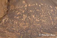
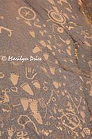
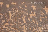
The first stop was Newspaper Rock - a rock face with lots of petroglyphs. If you’re curious, petroglyphs are cut into the “varnish” that coats the surface of some of the sandstone in the southwest. Pictographs are ancient figures, also, but are painted onto the rock surface.
Above are three photos of Newspaper Rock. The photo on the left gives an overview and shows about half the area devoted to petroglyphs. I couldn't fit it all in one picture... The other two photos focus in on some of the more interesting sections of petroglyphs.
On to Visitor’s Center where road conditions were double checked and the exhibits were looked at.
Jim let some of the air out of the tires so they’d have better traction and we headed for the trailhead for Elephant Hill. The steepest, most rugged portion is the first hill - up one side and down the other. I walked down...
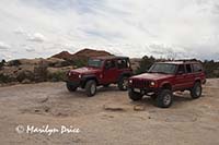
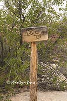
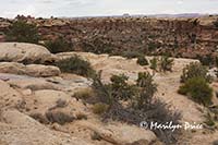
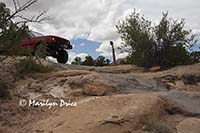
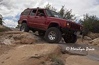
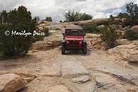
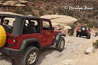
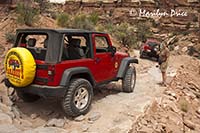
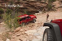
The three photos above were taken at the top of the first hill on the Elephant Hill jeep trail. We stopped here to take a look at the long, steep, rocky descent ahead of us. The photo on the left shows our two jeeps. Jenny and Jim's is the one on the right. Our rental is the one on the left. The center photo shows a sign that points to the place where the descent begins. And it has the angle about right... The photo on the right is looking down the first part of the descent. The tire tracks of those who have gone before us are visible running through the photo.
Jenny and I opted to walk down this descent, taking pictures the whole way. What I didn't really realize until later was that we'd be coming back out this same route - reversing the directions...
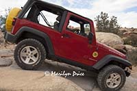
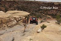
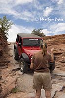
The nine photos below are just a sampling of the ones I took as the guys drove down the slope.
We stopped for lunch at a picnic area called Devil’s Kitchen. Just before stopping for lunch, we spotted a section of pictographs, but didn’t stop.
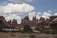
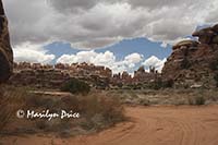
The three photos above were taken after descending that first massive hill. The photo on the left shows some of the Needles formations. The center photo shows Jenny climbing on some rocks near one of our rest stops before lunch. The photo on the right shows another section of the Needles formation and is the view we had from the picnic table we stopped at for lunch.
.
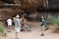
The photo to the left shows where we ate lunch - one of the picnic tables at Devil's Kitchen. This area has about half a dozen tables and a couple of outhouses...
.
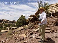
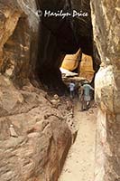
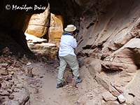
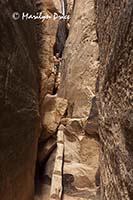
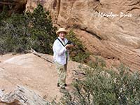
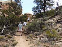 Our next stop was for Joint Trail, which is a hiking trail that leads to a slot canyon. The photo to the left shows me on the trail. The photo on the right shows Jim, me, and Jessi on the trail. After entering the narrow part of the slot canyon, we encountered a log ladder that lead to the trail to the top of this section of canyon. I couldn’t handle the log ladder, so Carl and I turned back. The rest went on.
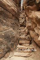
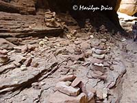
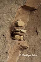
The three photos above are from the Joint Trail, approaching the slot canyon. The photo on the left shows the stone stairway we climbed. The remaining two photos are of an area sometimes called the "Cairn Graveyard" for all the cairns people have assembled there.
.
Carl took the photo on the left of me shooting one of the many small cairns in the "Cairn Graveyard". The photo on the right shows what I was taking a picture of.
.
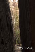
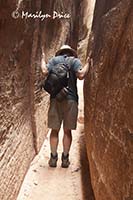
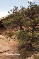
The photo on the left above shows a tree growing just beyond the end of an arm of the slot canyon. The center photo shows Jenny looking back at us over the log ladder that I balked at... The photo on the right shows Carl pretending to push the walls farther apart in the slot canyon.
We enjoyed the birds and flowers while they went on. Today was more overcast than it has been, but no rain and enough sun that the clouds were truly appreciated.
The center photo above shows me taking a picture of something from the trail below the stone staircase. The remaining two photos are ones I took from that location...
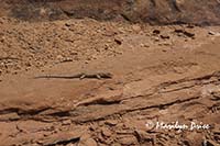
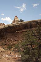
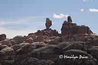 The photo on the left shows one of the many lizards we spotted that day. Jessi was counting them. I wonder if she saw this one by the side of the trail. The photo on the right shows some formations near the Joint Trail parking lot. I think we all took a picture of this one that looks like an eagle about to take off.
Then it was back over the same initial hill to leave the trail. Carl did great!
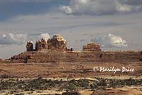
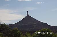 We stopped a couple of times on the way back to the highway to shoot some buttes and spires. The photo on the left shows the Wooden Shoe Arch and the one on the right shows the North Sixshooter.
We had planned to stop at Hole in the Rock for some ice cream before dinner, but we hit there at 7 and it closed at 5. So, back to condo for quick showers, then dinner at Eddie McStiff’s. I had a spinach and walnut salad that was huge and very delicious. Carl had fish and chips. Good beer - they brew some of their own.
Then we stopped by the grocery store for milk and bananas (some things never change) then back to condo for a soak in the hot tub (we had lowered the temperature in the meantime) and bed.

