May 27
May 28
May 29
May 30
May 31
June 1
June 2
June 3-5
June 6
June 7-10
The sun came up about 6:30 and lit up the room - the blinds are pretty, but they sure let a lot of light in. Couldn’t sleep any longer, so I got up. It was a slow morning.
At breakfast, we discovered that the dishes in the condo are huge and heavy!!! The "cereal" bowls hold a double helping of cereal and the coffee mugs hold more coffee and tea than a normal person drinks in a whole morning.
We finally got everything together and started out. Our first stop was at the Visitor’s Center in town. I bought another wildflower book - this one specifically for this area.
Today will be a “jeeping” day. These are some of the easier jeep roads - ones that we can easily take our Subaru on. We drove on to the Canyonlands jeep roads. The first road was called Potash and went through an area where they mined potash. We passed by several settling ponds.
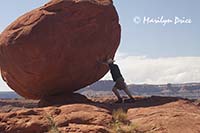
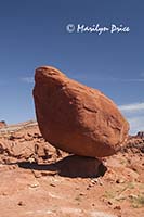
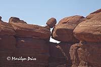
The three photos above were taken at one of our first stops along the Potash Trail. The photo on the left has Carl pretending to hold up a balanced rock. I walked back along the road to get the center photo, which shows the same balanced rock no longer back-lit. The photo on the right shows another precariously perched rock.
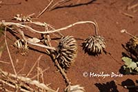
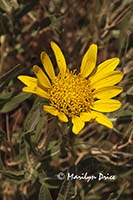 I spotted a clump of yellow flowers at another of our stops on this trail. As near as I've been able to tell, the flower is a threadleaf groundsel. The photo on the right shows the flower in bloom, while the photo on the left shows a couple of dried seed pods laying on the ground.
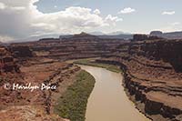
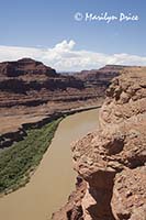
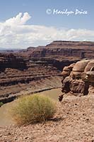
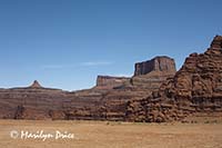
There were some nice views of Colorado River from a couple of the stops, including one known as “Thelma and Louise” Point. This is a location where, supposedly, they drove the car off the cliff into the river at the end of that movie. Somewhere along in here, the road switched from Potash trail to Shafer jeep trail.
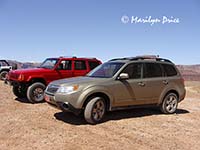
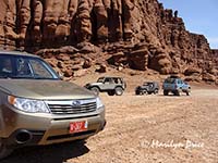
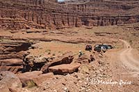
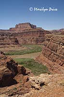
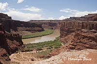
The three photos above were taken at "Thelma and Louise Point". The photo on the left shows our two cars (Jenny and Jim's is red) parked near this point. The remaining two photos show the Colorado River as it passes by this point.
The three photos above were also taken at "Thelma and Louise' Point. The one on the left shows a lone Subaru (ours) parked in a group of jeeps. The center photo is another photo of the Colorado River from this point. The photo on the right shows the buttes that tower over our location.
The road was bumpy in places, but nothing the Forester couldn’t handle easily. We finally found an outhouse... I would have liked to have found it a couple of miles earlier....
The three photos above were taken at a rest (and picture) stop shortly after "Thelma and Louise" Point. The one on the left shows some of our group looking around the area. The other two photos show a sweeping turn the Colorado River takes at this point.
.
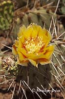
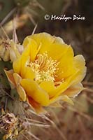
Jenny and Jim came to a quick stop at one point and we pulled in behind them. Jenny had spotted these pricklypear blossoms off the road a way (good eyes!) and we trooped over to take their picture. The deep red at the base of the petals (more obvious in the photo on the left) made this clump of pricklypear different from others we had seen.
.
My sister took these pictures of us on the uphill portion of the Shafer Trail. Thanks, Jen!
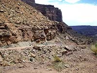
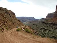
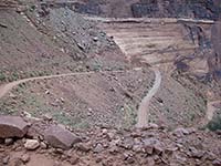
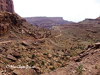
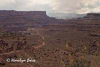
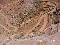
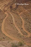
These photos were taken on the uphill portion of Shafer Trail. The one on the left shows Jenny and Jim's jeep climbing ahead of us. The other two photos show the road we've just driven fading into the distance.
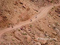
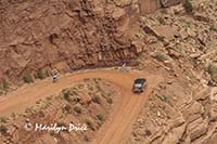
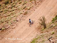
Once we got onto the upper part of Shafer Trail, one of the easier and more popular jeep trails, we spotted several mountain bikers on the road. One stretch was narrow, windy, and steep. Two women went by riding the brakes on their bikes. They were definitely white knuckled riders. If I had been on a bicycle that day, I could have been as white knuckled as they were. We stopped and watched them descend the rest of the way. I could almost hear them when they reached their husbands/boyfriends - “What the H*** was that about! That’s your idea of an easy trail!!!”
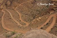
The three photos above are looking back down the switchbacks of Shafer Trail. There's bicyclists on the road...
Three more shots of the bicyclists on Shafer Trail.
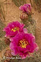 Near the end of Shafer Trail, I spotted this rosy pricklypear blossom and we stopped to shoot it.
When we got to the end of the trail, we were inside the National Park, so we drove over to the entrance area and picked up our park pass. Then we drove on to the Visitor’s Center. After looking around there, they had a Ranger talk, so we stayed around for that. Very interesting. And she was being evaluated by her superior at the time, so we didn’t give her too hard a time.
We finally ate lunch about 2 at a picnic area near Grand View. Nice spot, except for the gnats! We watched some ants trying to take pieces of popcorn back to their anthill. They finally got some of them taken back.
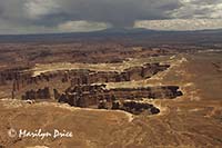
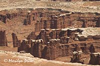
On to Grand View Overlook, where we walked around a bit and took some pictures.
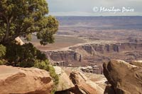
The photos above are three of the photos I took from Grand View Point, showing the canyons below. The road visible in two of these photos is the White Rim Road, named for the white on the canyon rim.
Our next stop was at Mesa Arch. There were lots of people crowding around it, so picture opportunities were few. And there was a thunderstorm threatening. We turned back to the parking lot when the dust devils started playing havoc with our vision...
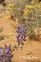
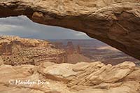
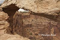
The photo on the left above shows some flowers along the trail out to Mesa Arch. The bluish one is silver sophora, a member of the pea family. I can't identify the yellow one, however. The other two photos are of Mesa Arch.
The rain hit about the time we got back to the parking lot.
So, we took the “long” way back to condo. The short way ( the jeep trail) took us about three hours. The long way returning took about 35 minutes.
We stopped at grocery store on our way back through town to pick up dinner, since it was Friday night and the restaurants would all be crowded..
We spent some time in the hot tub before dinner. The temperature had been set too high and it was much too hot..
We grilled steaks, and added baked potatoes and salad for dinner. Yum!
After dinner, we watched videos of Jake’s band, then crashed early...

