Sept 10
Sept 11
Sept 12
Sept 13
Sept 14
Sept 15 - 21
Monday, September 11, 2017
I slept better last night. This was partially due to all the exercise yesterday, partially due to Carl getting a box fan from the management to move some air around, and partially because the weekend is over and the hotel isn't full - as a result, no roller skating tap dancers upstairs....
We started the day meeting at the van at 6:30.
As we drove up the coast, we could see the sky getting pretty, so we stopped at Beverly Beach. Since the sky looked pretty, maybe the ocean would be too. We spent a little time there, just shooting this and that.
The three photos above were taken at Beverly Beach. The color was subtle, but nice. For the photo on the right, I slowed the exposure to blur the waves a little.
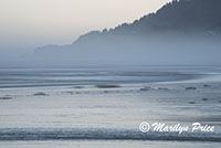
These two photos were also taken in the predawn light at Beverly Beach. The one on the left shows some of the coastline and blurred waves.
The photo on the right shows the coastline in the other direction with some early fog and blurred waves.
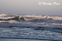
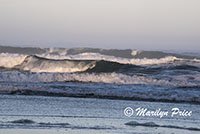
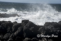
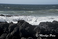
Once the sun came up, the waves themselves started looking interesting. These two photos show some of the crashing waves at Beverly Beach.
.
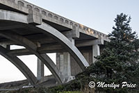
This is the bridge we walked under to access Beverly Beach. The road above us was US Highway 101, which hugs the coastline from Southern California to northern Washington.
.
.
Then we drove back to Devil's Punchbowl (Otter Rock) to see if it was worth shooting. Sort of. We saw two whales this time. Or at least, two spouts in quick succession followed by a spy hop! I didn't keep any of the photos from Devil's Punchbowl - too much contrast.
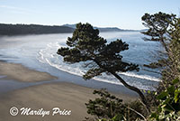
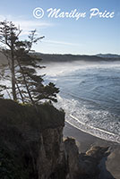
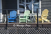
These three photos were taken from the Otter Rock area. The edges of the parking lot were much more photogenic than the Devil's Punchbowl itself. The photos on the left and center show the view of the coastline from this parking area, high above the beach itself. The photo on the right shows some adirondack chairs on the porch of one of the houses in this area.
We continued on to Neskowin Beach again, this time from a different direction to see if we could find Ghost Beach. It's most easily accessible through a gated community with warning signs and no public parking... It's an interesting place, tho.
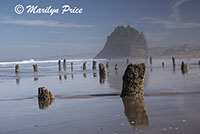
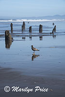
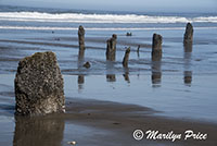
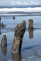
The main attraction to this section of beach is the tree stumps standing on the beach (and in the water). According to Wikipedia, the Neskowin Ghost Forest is the remnants of a Sitka spruce forest on the Oregon Coast of the United States. The stumps were likely created when an earthquake of the Cascadia Subduction Zone abruptly lowered the trees, that were then covered by mud from landslides or debris from a tsunami. Many of the stumps are over 2,000 years old. The stumps were unearthed when turbulent storms swept away sand during the winter of 1997–1998.
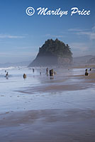
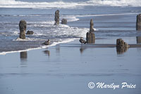
The photo on the left and the one in the center above show some of this Ghost Forest with Proposal Rock in the background. The photo on the right shows two seagulls walking through the stumps of the forest.
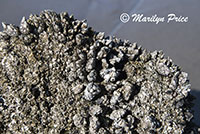
The photo on the left shows some of the tiny barnacles covering these tree stumps.
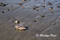
The photo on the right shows a crab shell among some scattered pebbles along the beach here.
Three more photos of these interesting tree stumps and the surf that covers them most of the time. (They're only visible at low tide)
Then we drove back to Lincoln City for lunch. The first place we stopped turned out to be not interested in our business (plus it was a bar that served a minimal menu). So we walked across the street to a burger place. They open at noon and it was 11:30...
The next place we tried wasn't open on Mondays. Next place we tried, while Yelp said they should be open on Mondays, they weren't. Big closed sign in window. (Note: found out later that they were remodeling and were closed for another week.)
The next place we tried was open and had cars out front. Don't know why, tho. The service was slow, prices high for what we got, and food was crappy. I asked for the salmon burger that was on the menu – oh, we don't serve that any more – we're getting new menus next week. Shrimp burger? ok. The shrimp were straight out of a grocery store freezer minus the tails...
So, we drove back to rooms for a short rest and will go out again later.
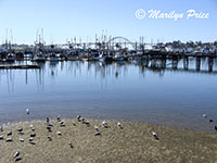
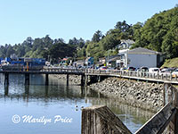
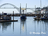
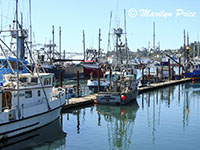
While we were out exploring, Carl was doing some exploring, too. For part of his adventure, he drove down to the Newport Harbor. The next six photos were some that he took this morning.
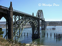
The photo on the left shows the large bridge at Newport harbor from a pull-off spot that is frequently used for taking just this photo. The center photo shows some of the large fishing fleet docked at the harbor with the bridge in the background. The photo on the right shows some of the dock area. The blue building on the right side of the road is where we wound up for dinner this night.
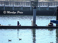
The photo on the left shows one of the fishing boats coming into port to offload that day's catch. The center photo shows more of the fishing fleet at dock. The photo on the right shows some of the sea lions that "talked" alllllll day long.
As we drove through one town I saw a shop called The Chocolate Frog. I wondered aloud if they had Dumbledore. No one in the car knew what I was talking about...
This time, our first stop was Thor's Well at Cape Perpetua. We finally got on the right trail after two false starts. It was very windy.
We later discovered that the best view was from the road... It involved walking over sharp and slippery rocks to get to the side of the well only to find the best views were from above.
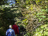
The photo on the left shows Jesse, Nancy, and me walking through the dense vegetation from the parking lot to the pedestrian underpass on our way to Thor's Well.
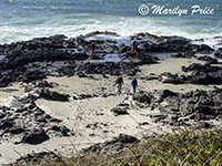
The photo on the right shows Bill and me approaching the Thor's Well itself. Jesse had already arrived at the rim and Nancy and Carl stayed up at the observation railing area. I only went a little farther out than this photo shows. To go farther involved some very sharp rocks with puddles of undetermined depths at their bases....
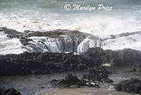
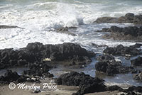
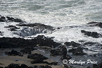
These four photos show different water levels in Thor's Well. It's difficult to capture just how much difference there is in the sea level in the "Well" as it is constantly changing. A video is the only way (other than being there) to really get an idea of just what this area looks like.
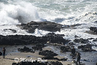
These four photos were taken from near Thor's Well itself.
.
.
.
I returned to the viewing area about half way up the slope and took these three photos of Thor's Well.
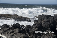
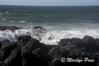
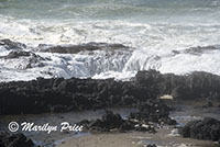
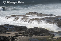
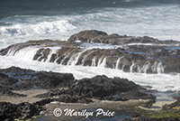
I took a break from shooting photos of Thor's Well to capture some other waves crashing over a nearby outcropping. As the water withdrew from the top of the boulder, it looked more like waterfalls than anything else.
These three photos of Thor's Well were taken from the roadside overlook.
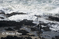
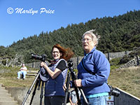
The wind was really blowing fiercely while we were at Thor's Well. The photo on the left shows Nancy and me getting very windblown at the observation area about halfway up the slope.
.
.
.
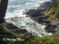
Then we walked over to Devil's Churn. Carl took this photo from the overlook at the top of the stairs. The tide really scours this little canyon. I walked down to the bottom of the steps, intending to take some photos from there. However.....
There, a young man intercepted us and asked for help as his girlfriend was suicidal and sitting at the edge of the cliff, could we send for help and could someone sit and talk to HIM for a while so they wouldn't be alone. By the time the sheriff’s dept arrived, and the deputy started talking with the young woman, we found out, she wasn't suicidal, just very, very pissed at her boyfriend - and even more pissed when she found out he had sent for help. We left without taking any photos here at all.
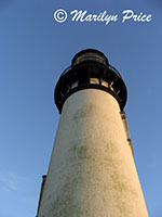
We drove back to Yaquina Head lighthouse for another sunset attempt. The wind was blowing so hard that I stayed in the van... Carl and the others walked up to the base of the lighthouse and Carl took this photo looking up the lighthouse.
Dinner was at a restaurant called Local Ocean at the bay in Newport. Good food! I ate too much. I had the prawn salad, Carl had crab cakes. They were very plentiful helpings. And very fresh. This place was located right across the from the docks where the fishermen unloaded their catches every day. They also sold some of the fish not used in that evening's menu to the general public.
Now to pack up for tomorrow morning's move and get some sleep.

