April 15
April 16
April 17
April 18
April 19
I found myself waking up, waiting for the alarm - I looked at the clock at 11:45, 1:45, 2:45, 3:45. Yet I was sound asleep when it finally went off, loudly, at 5:45...
I met the rest of the group at 6:30 and we headed west towards Hood River.
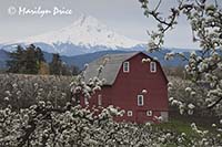
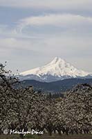
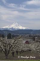
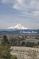
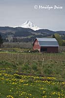
We spent most of the morning in that area shooting through pear orchards towards Mt. Hood and sometimes including a bright red barn.
The three photos above were taken during this stop. The photo on the left shows the red barn through the pear trees with Mt. Hood just peeking through in the background. The center photo shows Mt. Hood rising above the barn and pear orchard. The photo on the right shows the barn and pear orchard from a different angle - from the field we parked at the edge of - and includes some of the other farms in the area.
.
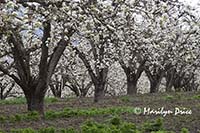
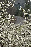
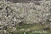
These photos were taken at the same pear orchard. The photo on the left shows the rows of pear trees and the photo on the right shows a road curving up a hill as seen through the orchard.
.
.
As we were packing up to leave this lovely spot, the overcast started breaking up and Mt. Hood showed off its splendor. These two photos were taken after we grabbed gear back out of the cars. The photo on the right includes the red barn while the one on the left doesn't.
.
From that orchard, we went back up to Panorama Point for a potty break.
These three photos were taken from or near Panorama Point. The photo on the left shows rows of pear trees and was taken from Panoramo Point. The center photo shows Mt. Hood rising above the many farms in this valley and was taken from Panorama Point. The photo on the right is an orchard near the base of Panorama Point.
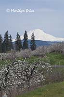
Then we drove on to more pear orchards and barns and Mt. Hood and even Mt. Adams.
The photo on the left shows one of the barns we stopped to photograph with Mt. Hood rising in the background. Crossing the road and climbing a small hill and turning around brought this view on the right of Mt. Adams rising over another orchard.
.
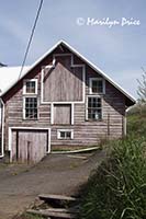
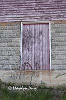
We spotted this fantastic pink barn along this road, also. The photo on the left shows the right half of the barn - it had more rooflines than most barns have. The photo on the right is one of the many detail photos I shot around this barn and shows the textured bricks used for the foundation.
We returned to the hotel for a quick lunch and rest.
.
The afternoon was spent over on the Washington side shooting some wildflowers - first at Catherine Creek then along the Columbia River. It was a windy afternoon, which made macro work challenging...
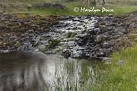
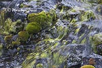
The photos on the left and right are of a cascade section of Catherine Creek. The photo on the left shows some of the grasses along a pool at the base of the cascades and the photo on the right zooms in on some of the moss growing in this cascade section.
The two photos above and the two photos here were all taken from the same location. I just plopped down and sat and shot. Then I had to try to get up....
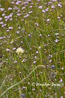
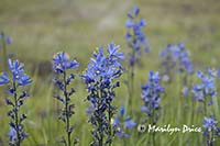
These photos show some of the profusion of wildflowers growing along Catherine Creek. I've not been able to identify these yet as the book on wildflowers of the Columbia River Gorge I picked up isn't very user friendly and could use better photographs...
.
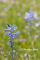
These two photos were taken on the walk back to the car from the small valley formed by Catherine Creek. The wind was blowing pretty briskly, so these took a while...
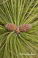
The photo on the left are some blue wildflowers and the photo on the right shows some new spring growth on a pine tree.
.
Dropping back from the plateau where Catherine Creek is located, we stopped by the side of the road at a large stand of arrow leaf balsomroot. Just across the road was the Columbia River.
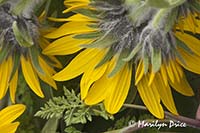
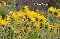
These two photos were taken during this stop. The flowers on the left were drooping over and resting on their base, so the wind didn't affect them as much. With the photo on the right, I let the wind have its way and slowed the shutter speed as much as I could to attempt to capture the motion.
Then back to the hotel to snack and download images.
We drove out to Rowena Plateau for a windy road shot and sunset, which wasn’t as good as we thought it was going to be.
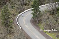
The three photos above were taken from Rowena Plateau on the Oregon side of the river. The road to the top of this plateau is the old highway that ran along the Oregon side before the interstate highway was built.
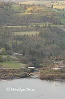
The photo on the left shows a bicyclist speeding back down this windy road - his reward for the grueling climb to the top. The center photo shows a bridge leading into Lyle, WA, across the river. The photo on the right shows some of the colored clouds of sunset.
Then we drove back to the hotel to crash for the night.


