July 10
July 11
July 12
July 13
Saturday July 13, 2013
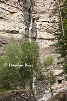
This morning’s shoot was in town. We were only going as far as Cascade Falls, which is right at the edge of town. Don had mentioned that there was a bit of a climb to get up to the falls, so Carl and I left the motel earlier than the others. We had about a 20 minute head start on them and soon arrived at the base of the falls. I got my photos taken before the others started crowding the site.
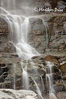
The photo on the left shows what the whole waterfall looks like from the viewpoint near the parking lot. That's about the only way to get all of it into one photo. The photo on the right shows the cascades in the lower portion of the waterfall.
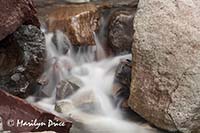
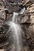
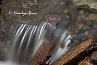
The photos to the left and right above show some of the many cascades to be found below Cascade Falls. The center photo shows a detail of the top portion of the waterfall.
Then I said my goodbyes to some of the others that we met on the way back down the hillside and Carl and I returned to Main Street for a leisurely breakfast at the Backstreet Bagel. Good eggs and good tea!
Then back to the motel to pack up. By the time we checked out, almost all of our group was gone.
We decided to take the long way back, starting up US 550 through Montrose, where the road changed numbers to US 50, driving through the Olathe valley. They’re getting ready to start harvesting the sweet corn there!
Lunch was in Delta at the C and J Café, another Mom and Pop place that had a large number of locals eating there already.
Then we headed towards the mountains, taking state 92 and state 133 over McClure Pass to Carbondale. Then we plunged back south again, on state 82 through Aspen and over Independence Pass. We stopped at a day use area along the way (another potty break) and, as we were walking around the area, stretching our legs, there was a massive thunder clap almost overhead and the rain started. The temperature immediately plummeted from 84 to 54!!!
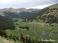
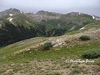
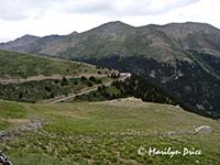
As we neared Independence Pass, we spotted a pull out area, where we stopped to look back down into the valley we had just driven through. It has the charactistic "U" shape indicating it was carved by a glacier once upon a time. The photos to the left and right show our view from this overlook.
We stopped at the summit of Independence Pass (while the rain took a hiatus) and walked out to the overlook there.
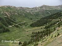
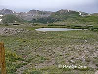
The three photos above show different views from the trail leading to the overlook at Independence Pass. the photo on the right also shows our road back down the mountain from this pass.
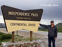
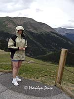
The photo on the left shows Carl with the sign announcing Independence Pass. The photo on the right shows me at the overlook. He managed to dress for today's temperature fluctuations, while I had dressed for the lowlands....
Then back down the other side, where the rainstorm caught up with us and followed us all the way through Leadville and Copper Mountain. It held up for a little while when we stopped in Frisco for dinner at the Fifth Ave Grille. Good food, but small tables!!!
Then back on I-70 to town. The rain followed us most of the way, but never caught up with us the rest of the way home.
It was good getting back to our own bed....

