July 10
July 11
July 12
July 13
Thursday July 11, 2013
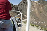
This was a different kind of day. Don had arranged for a couple of commercial jeeps to take us on a personal tour over some really rough roads - the kind that are limited to four wheel, off road capable vehicles only. These "jeeps" were converted trucks that had three rows of seats, some of which had seatbelts, installed on them. The drivers showed up at 7 am and we all piled on. Carl joined us for this segment of the trip.
We had all gotten loaded when I glanced at my camera and noticed that the battery pack was missing!!! I had taken it out to recharge it the night before and neglected to reinsert it. So, I ran across the parking lot and up the stairs, grabbed the battery, and returned to find the truck had moved to the foot of the stairs to wait for me. Glad I glanced down!!!
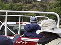
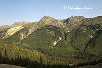
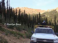
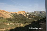
These trucks really weren’t made for passengers to be comfortable on the highway portion of the trip. We were all pretty windblown by the time we turned off the highway, ready to start the serious part of the drive. The photo on the left shows us going down the road. What it doesn't show is me clutching the front of my hat to keep it from blowing all over the place! The photo on the right is the view across the valley just before we started up Corkscrew Gulch.
Richard, the driver of the truck we were on is an interesting fellow. He’s been driving tours on these mountains for the last twelve seasons. The rest of the year, he lives in Ohio! (Or was it Iowa - I get those two confused.) At one of our stops, Don handed Richard a copy of his wildflower book and Richard sat there reading it - not just looking at the pictures, but reading it! It didn’t exactly match Richard’s cowboy persona (complete with cowboy hat and hand rolled cigarettes)....
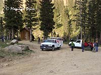
We started out by going up Corkscrew Gulch, stopping a couple of times for photo ops. One stop also had an outhouse, which several of us took advantage of.
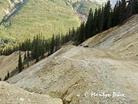
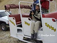
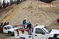
The three photos above were taken at our first stop. The photo on the left shows the second truck coming up the trail towards our stopping point. The center photo shows me stopping to shoot a photo before getting off the truck completely. The photo on the right shows a typical photo workshop scene - cameras pointing every direction!
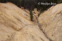
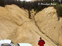
The photos on the left and center were also taken at our first stop and show the mine tailings we were driving through and the road ahead of us. The center photo also has Don in it. The photo on the right was taken at our second stop and has some of the guys in the second truck standing up to shoot back at the mountains across the valley.
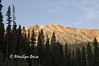
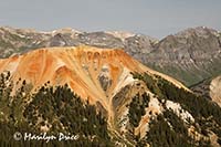
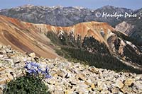
These photos were taken at about the third stop, the first to include an outhouse... The photo on the left shows the area we stopped in. The photo on the right shows the view back towards Red Mountain. Later, I found out that there are two Red Mountains (#1 and #2). Where one begins and the other ends, I really don't know. However, until we've crested Hurricane Pass, both Red Mountains are very visible and very colorful. We included both of them in several photos...
The three photos above show different views of Red Mountain from near the crest of Corkscrew Pass.
The three photos above show different views of Red Mountain from near the crest of Corkscrew Pass.
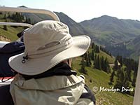
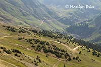
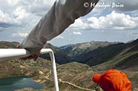
After cresting Corkscrew Pass, we continued on towards Hurricane Pass, again stopping for wildflowers and the outhouse. The photo on the left shows me looking at the scenery as we drove this stretch of the road. The photo on the right shows some of the many jeep roads in the area.
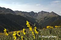
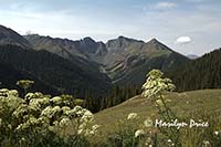
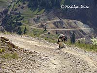
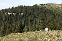
These three photos were taken at our second outhouse stop. There happened to be a lush meadow of wildflowers here and some tremendous mountain views, so we stopped here for a while. The photo on the left shows some nodding sunflowers against the mountains. The center photo has lovage as a foreground to the mountains. The photo on the right shows me kneeling in the road taking the center photo!
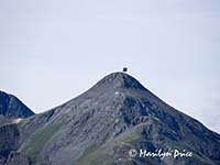
These three photos were taken at the same location. The photo on the right shows Carl enjoying the hillside and the clouds. The center photo shows me shooting some flowers. The photo on the right shows a distant peak that had some sort of very faded, weathered billboard on top of it. Richard, our driver, said he's tried for years to figure out just what it was, as there's no road or trail that goes to that peak. My contribution was that it said "See Rock City"....
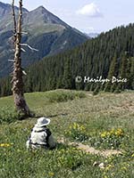
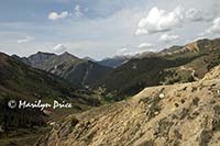
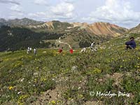
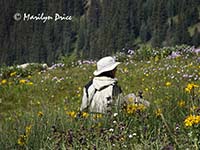
We continued up the mountainside towards Hurricane Pass and found another wonderful field of wildflowers. The photo on the left above shows the view back down the valley. The center photo shows our group of photographers spreading out through the meadow. Most of the photos attempted here had flowers in the foreground and the mountains in the background. The photo on the right shows me sitting in the middle of this meadow, contemplating what to shoot next.
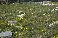
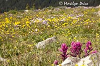
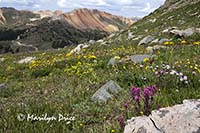
We were at this location for a while. The photo on the left is an overview of the meadow of wildflowers and rocks we were exploring. The center photo shows some rosy paintbrush against a backdrop of other wildflowers. The photo on the right shows a different patch of rosy paintbrush, the meadow of wildflowers, and Red Mountain.
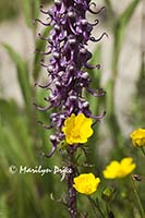
The three photos above are three of the many flower portraits I captured at this stop. The photos on the left and right are of queen's crown (also called rose crown). The center photo shows some buttercups and little red elephants (also called elephant heads).
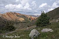
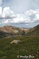
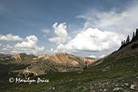
The three photos above are different views of Red Mountain across this meadow. The summer monsoon clouds are starting to build up. And we will get rained on before we return to the motel...
We spotted a mountain goat at this stop, also. He was hard to spot once he got into the rocks. The only reason I spotted him first is that I was looking uphill while everyone else was looking downhill and he was crossing a grassy spot
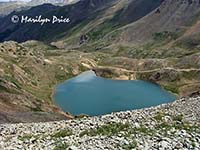
The journey from Hurricane Pass to the top of California Pass was a short one. Just before reaching Hurricane Pass, we stopped at this old mining chute (photo on the left). Just after the top of Hurricane Pass, we made a quick stop to view Lake Como from the road. Carl got out and took the center photo. I opted to remain in the jeep and took the photo on the right.
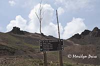
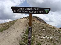
However, California Pass was the high point (literally) of the day. We topped out at 12,960 feet in elevation. And we stopped at this point for more photos. The photo on the left above was taken in the short section of road between Hurricane Pass and California Pass as we bounced around a corner. The center photo shows the other truck approaching the pass. We had backed into the small parking lot at the top of the pass and they were getting ready to park in front of us. The photo on the right shows the elevation sign at the parking lot for California Pass. We climbed up the path shown, just to see the view.
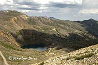
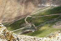
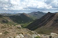
Some of the views from California Pass. The photo on the left shows Lake Como with the road we were on in the lower left corner. The center photo shows some of the trail we climbed to get to California Pass. the photo on the right looks down the valley we'll be traveling on this afternoon.
Three more photos from California Pass. the photo on the left shows Don, one of our leaders, posing on a rock. The center phono shows California Pass with its small parking lot. We came up the road on the right and will go down the road on the left. The photo on the right shows the view near the top of the walking path near the Pass.
One final photo from California Pass. This photo has me in the foreground and Lake Como in the background.
After California Pass, we dropped back down the other side to Animas Forks, an old mining town. There were several abandoned buildings there to shoot and to shoot around and through. In some ways, it was a bit spoiled, as they’re repairing most of the buildings. And this is a popular destination on the trails, so there were a bunch of people there.
We had our lunches at Animas Forks (and another potty break).
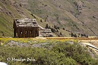
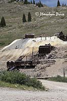
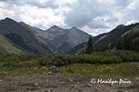
The photo on the left shows an abandoned mining building that hasn't been restored yet. The center photo shows a large abandoned mining site. The building spilling down the hillside is a stamper, used to break up the ore into smaller and smaller pieces. It's all built on a hillside of mine tailings. The photo on the right is our view down the valley towards the town of Silverton. And the clouds are getting thicker!
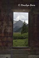
The photo on the left is the view down the valley as seen through a window of a partially restored old house. The photo on the right is the front of an old Victorian house that has been partially restored - notice the new wood used in the side "porch" entrance.
Along in here, I ran out of steam and had to just sit for a while. The altitude was finally getting to me a bit and I felt pretty shaky. Fifteen minutes of just sitting quietly helped a lot.
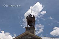
From there, we dropped even further down to the tourist town of Silverton, where we stopped at a grocery store (another potty break, as well as a snack break). The photo on the left is the bell atop City Hall in Silverton, taken as we drove by. We never made it back to shoot around town like I thought we were going to.
While we were stopped at the grocery store, someone brought up the suggestion of having the group dinner that night, as it was the only non-scheduled evening we’d have. Richard suggested The Outlaw as he starts playing piano there at 6. The suggestion was promptly taken.
One more ghost town stop at Ironton before we headed back to town. There were only a couple of buildings there, so the stop wasn’t as long as the one at Animas Forks.
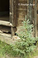
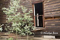
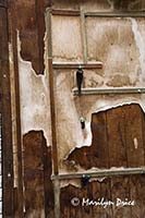
The photo on the left shows a spruce that has sprouted next to an abandoned cabin in Ironton. The center photo shows aspen growing next to another abandoned cabin. The photo on the right shows some peeling siding on a wall of one of the buildings.
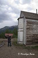
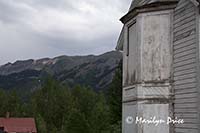
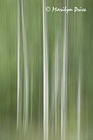
The photo on the left above shows Joan walking by one of the buildings in Ironton. The center photo shows the outside of one of the buildings and the mountains in the distance. The building reminded me of ones I've seen in Cades Cove in the Smokies. The photo on the right is an abstract of some nice aspens.
Back on the highway again for another wind blown experience, then we were back at the motel.
We cleaned up, then walked up to The Outlaw on Main Street to join the group for dinner. Really good food there, but it was a bit on the noisy side for a group dinner. Hard to hear a conversation farther away than the person sitting next to you.
And Richard was playing the piano. He’s good!!! Carl was talking with him later and Richard had been classically trained on the piano for 17 years. No wonder he was good!
All in all, a decent day.

