June 6
June 7
June 8
June 9
Sunday, June 8, 2014
Although the Renaissance Faire was continuing another day, we decided we had seen as much as we wanted of it, so we took off on our own.
We started the day at IHOP for breakfast. This is sort of a tradition on trips. If weíre on the road on a Sunday and donít have any obligations and thereís an IHOP nearby, we grab a Sunday paper and have breakfast there.
Once we finished breakfast, we drove west of town to take the Beartooth Pass Byway. Kelly had driven it a couple of weeks earlier, so we were following in her footsteps!
Nice drive! We had remembered the sunscreen and the full water bottle, but forgot to pack any food. And thereís no restaurants between Red Lodge City and Cooke City, which define the two ends of the road! There is a small store about halfway, called Top of the World. They had four sandwiches in their refrigerator and some chips and snacks, so we picked up two sandwiches, some chips, and a bag of cookies for lunch, which we ate parked by the side of the road next to the Beartooth Lake.
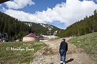
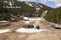 Our first stop on this trek was at the ski area near Red Lodge, MT. It's called Red Lodge Mountain. We walked up to the base of the lifts that begin at the bottom of the hill (there are more higher up, but this is where you would start your day). The photo on the left shows Carl approaching this bottom area. The photo on the right shows some snowmobiles parked near the bottom of the Magic Carped used by beginners. Visible in the left part of this photo is the main ski lift going to the top of the mountain.
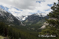
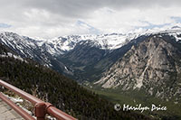 We drove back to the highway and headed up the pass. The photo on the left shows the Upper Rock Creek Canyon area from a pulloff at the side of the road. Obviously, this valley was shaped by a glacier once upon a time. The photo on the right shows the same valley from the Vista Point Rest Area, much higher on the mountain.
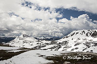
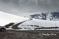
These photos were taken at another pulloff, even higher up the pass, the Gardner Lake Pullout. The photo on the left shows our view back over the countryside. The center photo shows the road ahead of us and part of the parking lot for this pullout. The photo on the right shows some tiny alpine flowers that we almost stepped on while looking around this area.
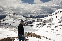
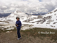 These photos were taken at Gardner Lake Pullout, also. Besides being a large pullout area for looking at the scenery, this is a trailhead for a couple of trails, one of which goes to Gardner Lake, supposedly only 3/4 mile away. We could see a flat area that is probably a lake when it thaws out, but couldn't see a trail. The photo on the left is Carl looking for the trail. The photo on the right is me with the scenery.
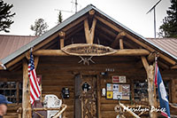 The photo on the left shows the front of the store at Top of the World, which has a permanent population of 4. It's the only store and gas station along the road. We bought some sandwiches here, then took them on down the road to eat. While I've labeled this Montana, it's actually just over the state line in Wyoming.
.
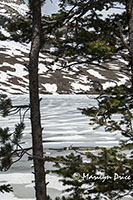
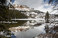
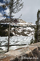
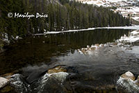
These three photos show the view we had while eating our sandwiches. Not too shabby! This is Beartooth Lake, which was still mostly ice covered. The photos in the center and right also show Beartooth Butte, which rises above the lake. The center photo has a nice reflection as the lake was melting close to its outlet.
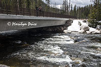
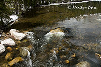
The photos above also show views at Beartooth Lake, just closer to the lake's outlet. The photo on the left shows the bridge over the river that is fed by this lake. The remaining photos were taken from the bridge and show the rapids leading out of the lake.
.
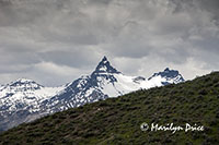
The photo on the left shows The Bear's Tooth, the peak which lends its name to this range of mountains.
.
.
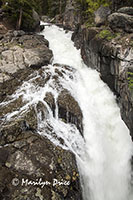
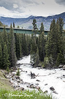
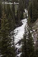
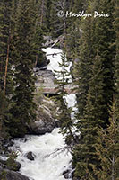
The four photos above show different views of Lake Creek Falls, a really huge waterfall for this high in elevation. There's parking just off the road and a loop trail which gets you closer to the falls. The leftmost photo shows the view from a foot bridge near the upper falls. The second photo shows the view back towards the highway bridge and the raging waters that continue for quite a ways. The two right photos were taken from the highway bridge and include the foot bridge in the distance.
This waterfall was our turnaround spot.
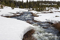
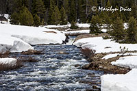
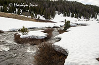
As we made our way back towards Billings, I spotted this stream cutting a nice path through the snow near Top of the World. Carl stopped and I walked back to get these photos. The photo on the left is looking upstream. The center photo is essentially the same shot, only zoomed in to show the cascade I had spotted better. The photo on the right is looking downstream.
We were also treated to many skiers and snowboarders who were playing in this area. Couldn't find a spot to pull over safely near any of them, however. There's a rope tow located along this byway to help the skiers and boarders return to the road, but they were skiing and riding in other areas, also. In a conversation overheard the next morning, many of them park at one end of a run and hitchhike to the top or park at the top and hitchhike back to their cars or arrange other shuttling services among themselves.
Some of the more adventurous sorts were using parasails to pull themselves over the snow!
We arrived back at the motel about 4 and I hit the shower. Carl decided to try the motelís pool. Not bad, but it got cold once the sun got off of it...
Once we were both cleaned up, we planned on returning to Jakeís Saloon for beers, but Jakeís is closed on Sundays!?!?!
So back to the motel. Carl had done some exploring online again and picked another restaurant for dinner. Kelly joined us once she finished the Faire, fed the cats, and got a shower.
Dinner tonight was in walking distance from the motel, just a block from the Rex disaster. Itís called Ciao Mambo. Yum! Very good Italian. Weíll be back to this one, too.
After dinner, Kelly headed back to her apartment. She was tired and tomorrow is a work day.
We crashed, too.

